Ottawa begins creating digital twin of traffic infrastructure
The high-resolution digital inventory will support more efficient planning, installation, and maintenance of traffic assets.
Key Takeaways:
- Ottawa is using a high-tech mapping vehicle equipped with LiDAR and 360° cameras to create a detailed digital inventory of traffic infrastructure, including signs, signals, and crosswalks.
- The project feeds into the city’s Digital Twin program, a 3D virtual model used by planners, architects, and emergency services to improve decision-making and infrastructure management.
- Privacy safeguards are in place: the system automatically blurs faces and license plates to protect personal information during data collection.
The Whole Story:
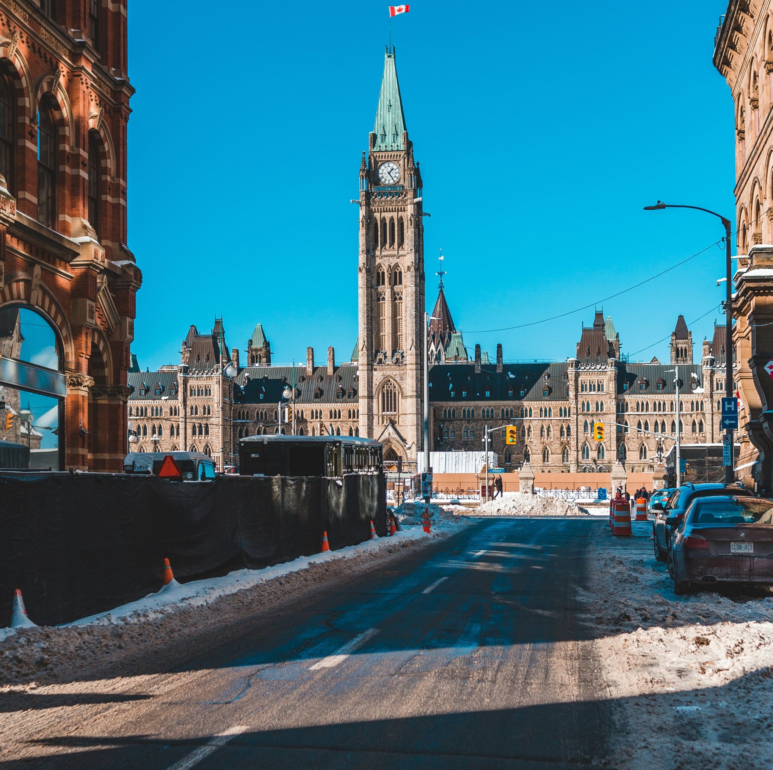
Don’t be surprised if you spot a City of Ottawa SUV cruising your neighbourhood this summer with what looks like a camera rig bolted to its roof. It’s not filming for Google Street View—but it’s not far off.
The vehicle is part of a new initiative called the Mobile Mapping of Traffic Infrastructure Project, a collaboration between several municipal departments aimed at creating a detailed digital inventory of the city’s traffic infrastructure. The effort falls under Ottawa’s broader Digital Twin and Reality Capture program, which uses advanced mapping technologies to build a 3D model of the city.
Mounted on the SUV is a Mosaic Meridian system—an advanced mobile mapping platform equipped with LiDAR sensors and a 360-degree camera. It will be used to scan and document features such as street signs, traffic signals, crosswalks, pavement markings, and streetlights.

City officials say the high-resolution digital inventory will support more efficient planning, installation, and maintenance of traffic assets. The collected data will also be integrated into Ottawa’s growing Digital Twin—a high-fidelity virtual replica of the city that helps planners, architects, and emergency services make better-informed decisions.
“Think of it like Google Street View, but purpose-built for the infrastructure that keeps our roads safe and functioning,” the City said in a statement.
The Digital Twin program relies on a suite of technologies, including LiDAR, drones, photogrammetry, and immersive 360-degree imagery, to digitally replicate both the exterior and interior built environment of Ottawa.
To address privacy concerns, the city confirmed that an automated system will blur any faces or license plates captured during the data collection process.
Parts of the Digital Twin are already accessible to the public via Engage Ottawa, where it is being used to support the development of the city’s new zoning bylaw.